Suadiye, Istanbul: a neighbourhood guide
A compact mahalle of Kadıköy between Bağdat Caddesi and the Sea of Marmara, with its own Marmaray station and a long seaside park. Where it is, how it grew, and how each part of it suits a different kind of buyer.
- 25,697Residents at the 2024 count
- 1.5km²Roughly the size of the mahalle
- 1910Year the first station opened here
- 14kmBağdat Caddesi from end to end
Where Suadiye is located
Suadiye is not a district but a mahalle, one of the official neighbourhoods of Kadıköy on Istanbul’s Asian side. It sits on Bağdat Caddesi between Erenköy and Bostancı and reaches from Şemsettin Günaltay Caddesi in the north down to the Marmara shore. Its postcode is 34740, it covers roughly 1.5 km², and Kadıköy Municipality’s figures put its population at 25,697 in 2024.
Five mahalleler share its boundary: Caddebostan and Erenköy on the west, Bostancı on the east, Kozyatağı and 19 Mayıs on the north. The sea closes the southern side.
- Caddebostan
- Erenköy
- Bostancı
- Kozyatağı
- 19 Mayıs
Locals also use informal place names that do not appear on a deed. Şaşkınbakkal, between Suadiye and Caddebostan, takes its name from a grocery opened there in 1932. On a title deed you will only ever see the mahalle.
Bağdat Caddesi through Suadiye
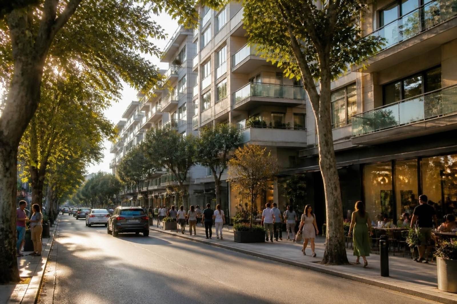
The avenue is about 14 km long, running from Kızıltoprak to Cevizli, and its best-known part lies in Kadıköy. Coming from the Kadıköy end, it passes Caddebostan, Erenköy and Şaşkınbakkal before reaching Suadiye, then Çatalçeşme and Bostancı. The stretch between Suadiye and Caddebostan is the busiest for shops, which gives the Suadiye blocks on the avenue their ground-floor stores and cafés.
Since 1987 traffic has run one way, from Bostancı towards Kadıköy, under a canopy of plane trees. Each 29 October, Republic Day, the road closes and crowds walk from Suadiye towards Göztepe, a tradition that dates from 1994.
The coast and the seaside park
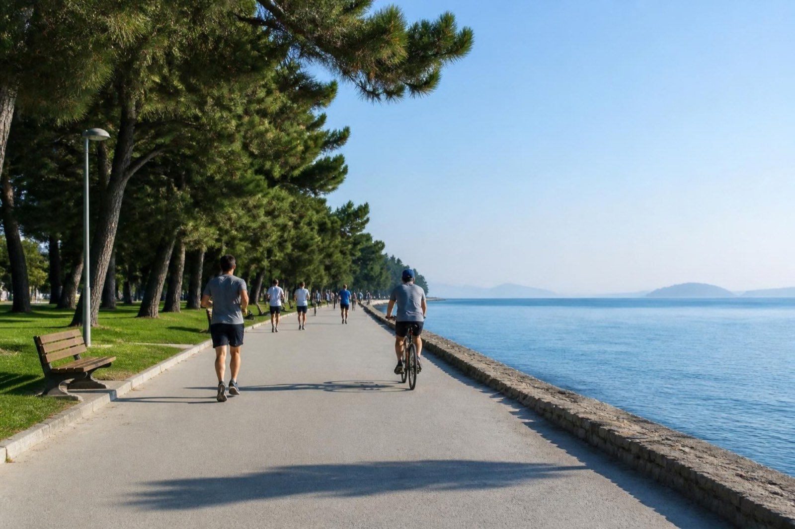
Suadiye made its name as a bathing spot: its beaches took off after the Suadiye Hotel opened in 1928, and a beach casino drew summer crowds. The waterline you see now is newer. Between 1984 and 1987 land was reclaimed from Dalyan to Bostancı for the coastal road, and the strip between the road and the sea became a chain of parks with paths for walking and cycling.
For a buyer, that means the sea is reached on foot from most of the sea-side streets, but a road separates the homes from the water. Ask how a ground-floor flat near the coast hears the traffic before deciding.
Getting around: Marmaray, metro and ferries
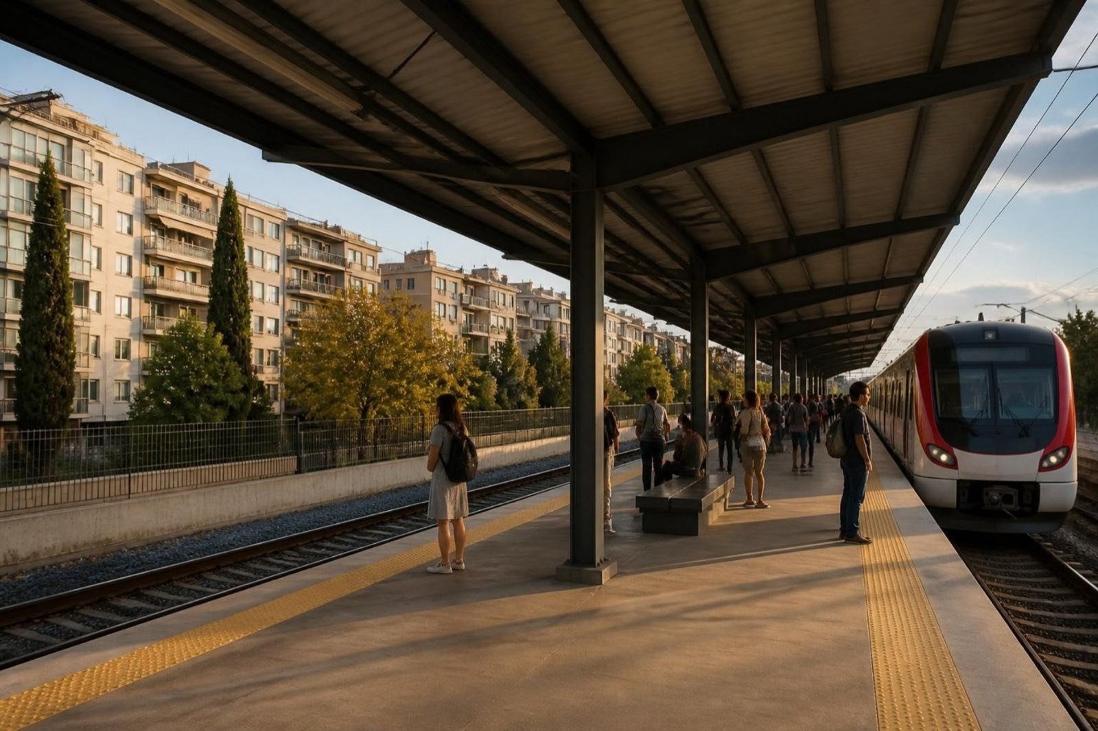
Suadiye station lies a few streets north of Bağdat Caddesi. It first opened in 1910, served the Haydarpaşa suburban trains for decades, closed in June 2013 and reopened on 12 March 2019 as part of Marmaray, which links Gebze with Halkalı through the tunnel beneath the Bosphorus. The platform is a single island between the tracks, and the original station building has been registered as a protected cultural asset.
Marmaray Cross-city line from Gebze to Halkalı; the same train continues under the Bosphorus to the European side
- Erenköy
- Suadiye
- Bostancı
M4 The metro has no stop inside Suadiye. Its closest stations are Kozyatağı to the north and Bostancı to the east, each in a neighbouring mahalle.
Suadiye station with its neighbours: Erenköy to the west, Bostancı to the east
There is no metro stop in Suadiye. The M4 line serves Kozyatağı and Bostancı next door, and Bostancı also has the pier for ferries and sea buses. If a listing advertises a metro “on the doorstep”, check which station is meant and time the walk yourself.
How Suadiye grew
Before 1900 this was farmland and vineyards. A railway, a mosque and a beach made it a resort; the apartment era and the coastal road made it the neighbourhood you see now.
1910: a station on the Anatolian line
The Ottoman Anatolian Railway opens a stop here. Wealthy families follow, building mansions and summer houses within reach of the train.
1914: its own mahalle
Suadiye is split off from İçerenköy and becomes a neighbourhood in its own right, named after the mosque built in Suad Hanım’s name next to the station.
From 1928: the beach years
The Suadiye Hotel opens and its beaches turn the area into a summer favourite, with a beach casino and concerts in the pine grove.
Late 1960s on: villas give way to blocks
Under the 1965 condominium law and later zoning plans, low summer houses along and around Bağdat Caddesi are replaced by apartment buildings.
1984–1987: a new shoreline
Land is reclaimed between Dalyan and Bostancı for the coastal road, leaving the strip of seaside parks that lines the shore today.
2012 onwards: rebuilding
Urban renewal reaches the avenue and the streets around it, and many ageing blocks are demolished and rebuilt.
2019: Marmaray arrives
After closing in 2013 for the works, the rebuilt station reopens on 12 March 2019 on the cross-city Marmaray line.
Rebuilt blocks and kentsel dönüşüm
Much of the housing stock dates from the apartment boom that followed the villa era, and since 2012 Bağdat Caddesi and the surrounding neighbourhoods have been going through kentsel dönüşüm, the urban-renewal process in which older buildings are pulled down and replaced. Residents describe a skyline that has visibly changed, along with years of building noise and dust on some streets.
So two flats a few doors apart can belong to different eras: one in a block from the apartment boom, the other in a recently completed replacement with a new permit. Neither is automatically the better buy, but the questions you ask differ, and our buying guide lists them.
Schools and landmarks in the mahalle
State schools inside Suadiye include Suadiye Hacı Mustafa Tarman Anadolu Lisesi, a high school, and Turhan ve Mediha Tansel İlköğretim Okulu for younger pupils. If a school matters to your choice, ask the school itself how admissions work for the street you are considering; we can help with the call.
The neighbourhood’s namesake, Suadiye Mosque, dates from the early 1900s and still stands beside the station.
Which side of Suadiye suits you?
Picture an ordinary Tuesday, then choose the strip that makes it easiest.
Sea side
For walks in the coastal park and a chance of a sea view from higher floors. Expect the coastal road between you and the water.
On the avenue
For shops and cafés downstairs. Check which way the bedrooms face, since the avenue carries both through traffic and shoppers.
Station side
For daily Marmaray trips and the shortest walk to the metro at Kozyatağı. Further from the shore and from the avenue’s shops.
See Suadiye apartments for sale Ask about a particular street